Traffic
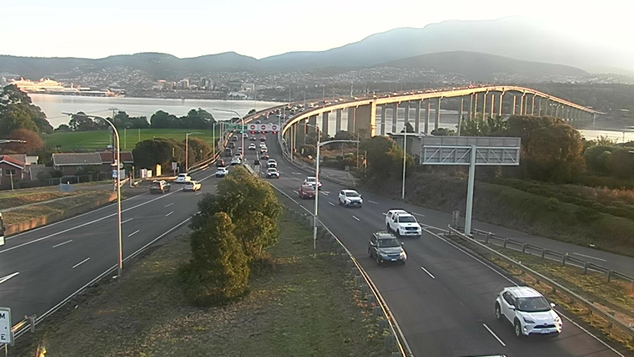
Tasman Bridge live camera
The Tasman Bridge is the Eastern Shore's lifeline — the main crossing of the River Derwent between Hobart's eastern suburbs and the city. This is the live Department of State Growth camera looking west from the eastern approach toward central Hobart. It refreshes about once a minute.
The live camera image is briefly unavailable.
How the bridge handles the traffic
The Tasman Bridge carries five lanes of traffic, and the centre lane is reversible. A set of overhead lane signals — a green arrow or a red cross above each lane — switches the middle lane's direction to follow the rush, a "tidal flow" system that squeezes extra capacity out of the crossing without widening it.
- Morning peak: three lanes run city-bound and two run back to the Eastern Shore, to clear the commute into Hobart.
- Evening peak: it flips — three lanes head east to the Eastern Shore and two run into the city.
- Off-peak: the bridge generally settles into two lanes city-bound and three toward the Eastern Shore.
Always obey the overhead lane signals — never drive under a red cross. Because the bridge is a single crossing with no easy alternative, a breakdown, crash or lane closure on it can back traffic up quickly along the Tasman Highway on both shores.